
Archive Record
Images
Metadata
Object Name |
Map |
Catalog Number |
2019.024.0031 |
Scope & Content |
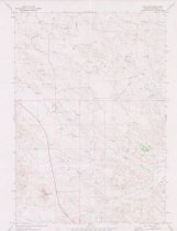
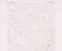
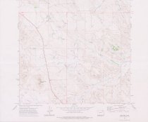
Topographic map of Recluse Quadrangle in Campbell County, Wyoming. The bottom right of the map gives the Spotted Horse location as N4437.5--W10537.5/7.5. This is a 7.5 minute series. This was mapped, edited and published by U.S. Geological Survey, U.S. Department of the Interior. It was field checked in 1971. It is marked: AMS 4873 II NW--Series V874. |
Pub Date |
1971 |
Date |
1971 |
Year Range from |
1971 |
Year Range to |
1971 |
Search Terms |
Campbell County Recluse, WY Wyoming |
Subjects |
Maps Topographic maps |